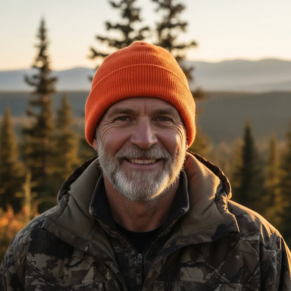
Stateline Deer & Pet Recovery
Premium drone-powered recovery across the Illinois–Indiana stateline.

Drone Deer & Pet Recovery across the Stateline
Find your wounded deer or lost pet fast with thermal drone recovery.
Stateline Deer & Pet Recovery uses FAA-compliant thermal drones to quickly locate downed deer after the shot and bring lost pets home safely day or night, in fields, timber, and neighborhoods.
Typical response in under 60 minutes • Licensed & insured • Night operations available
Need help right now?
Tell us what happened and where you are and we’ll confirm availability and ETA within minutes.
No obligation—pricing confirmed before deployment.
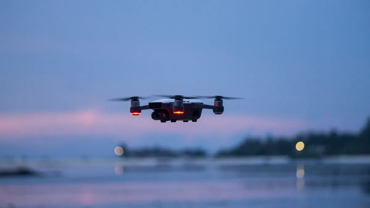
Thermal scan from above – pinpointing deer and pets in timber, fields, and neighborhoods.
What to expect
A simple 3-step recovery process
Whether it's a once-in-a-lifetime buck or a beloved family pet, our thermal drones quickly cover ground that would take hours on foot.
1. Share the details
Tell us what happened, exact location, time of shot or last sighting, and any obstacles (timber, neighborhood, water, etc.).
2. We deploy the drone
An experienced, FAA Part 107 certified pilot launches a thermal drone and systematically scans the search area from above.
3. Guide you to recovery
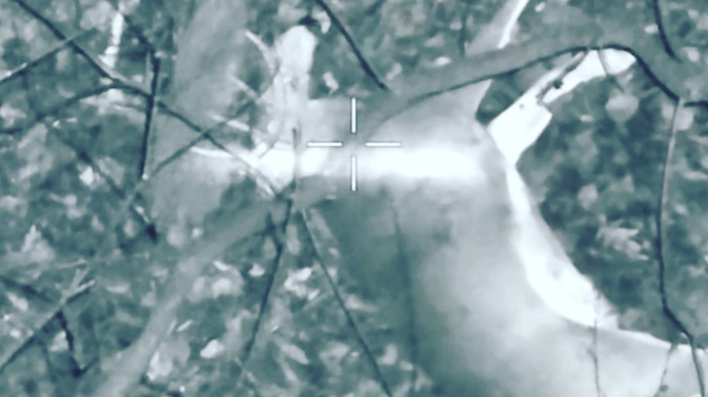
Once we locate a heat signature, we mark coordinates, capture imagery, and walk you in safely to recover your deer or pet.
Licensed. Insured. Elite equipment.
Licensed FAA pilots with state-of-the-art thermal gear
Every mission is flown by a licensed FAA Part 107 drone pilot carrying full insurance coverage. We operate with professional-grade thermal drones, handheld thermal cameras, and night vision to give you an aerial and on-the-ground advantage in any light conditions.
- FAA Part 107 certified pilots on every flight
- Fully insured operations for added peace of mind
- Thermal drones tuned for wildlife and pets
- Handheld thermal cameras to verify targets up close
- Night vision support for after-dark recoveries
Service area & availability
Deer recovery is only available in Indiana.
Pet recovery is available in both Illinois and Indiana.
We serve East Central Illinois and West Central and Southern Indiana, focusing on the stateline region where traditional tracking is often slow, difficult, and dangerous after dark.
Service hours: In-season evenings and early mornings preferred. Emergency pet searches available 7 days a week when weather allows.
For the fastest response, submit a recovery request with your location, situation, and whether it’s a deer or pet recovery.
Service packages
Choose the right recovery package
Transparent, flat-rate pricing with clear coverage areas. Final quote confirmed before we launch.
Local deer recovery
Flat-rate launches within our core Indiana deer recovery zone. Ideal for planned hunts and leases.
Final pricing confirmed before takeoff based on distance and search complexity.
Stateline pet searches
Rapid-response missions for missing dogs and cats across East Central Illinois and West Central / Southern Indiana.
Pricing depends on urgency, distance, and terrain—always confirmed before deployment.
Custom landowner sweeps
Proactive scans of farms, leases, and properties to verify downed game or check for trespass activity with thermal imaging.
Scoped and priced based on acreage and goals, with clear expectations up front.
Why hunters & pet owners trust Stateline Deer & Pet Recovery
We combine cutting-edge thermal technology with real-world hunting and animal behavior experience to run efficient, ethical searches.
- FAA Part 107 certified & fully insured
- Thermal drones tuned for wildlife and pets
- Respectful of property, neighbors, and local laws
- Clear communication before, during, and after search
Veteran hunter insight
We understand shot angles, hit placement, and how deer actually travel after impact so we search where it matters.
Pet-safe approach
Minimizing stress for your dog or cat is our priority. We avoid pushing animals into traffic or unsafe terrain.
“We recovered a buck we never would have found on foot. The drone picked him up 300 yards from where we thought he went. Worth every penny.”
— Jake M., bowhunter
See the thermal advantage
From 200 feet up, our drones can spot a warm body hidden in thick brush, CRP, or backyards long before a flashlight ever could.
- High-resolution thermal sensor for day or night
- Zoom capability to verify deer vs. other wildlife
- GPS tagging so you can walk straight in
- Safe stand-off distances over houses and property
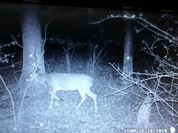
Thermal imagery makes hidden heat signatures stand out, even in heavy cover or low light.
What customers say
Real feedback from real recoveries
Mike T.
“They found my buck in under 20 minutes. Absolutely incredible!”
Hillsdale, IN • Deer Hunter

Jessica B.
“Our dog was missing in tall grass. The drone found him before sunset!”
Vigo County, IN • Pet Owner
Gary S.
“Impressed by the speed and professionalism—highly recommend for any landowner.”
Rockville, IN • Landowner
Common questions
Is drone recovery legal, ethical, and worth it?
We strictly follow state regulations and property rules. Our role is to locate , not to hunt. You make final decisions about recovery based on what we see from the air.
How soon should I contact you after the shot or after my pet goes missing?
As soon as possible. Heat signatures are strongest in the first 8–12 hours after a deer is shot, especially in cooler weather. For pets, early searches increase the odds of locating them before they travel far or seek deep cover.
What if you don't find my deer or pet?
Not every search results in a recovery. We will fly a systematic grid, review all thermal hits, and keep you informed the entire time. If we cannot locate a clear heat signature or visual, you still receive any imagery and GPS tracks from the search. Some hunters and owners value the closure alone.
Can you fly over houses, roads, or private property?
We always operate within FAA rules and state regulations. We'll discuss your specific location before launch and may need landowner permissions or may adjust our flight path to stay compliant and respectful of neighbors.
Will the drone spook deer or scare my pet?
At legal altitudes, most animals never notice the drone. We avoid low, loud, or aggressive passes, and we maintain safe stand-off distances to minimize pressure on deer and pets alike.
Book your flight
Tell us where and what you need recovered
Share your location, situation, and preferred package. We'll confirm availability, give you a firm quote, and dispatch if you approve.
We respond as quickly as possible once we receive your request.
By submitting, you agree to be contacted about drone recovery services related to your request.
Request a recovery
Complete the form and we’ll follow up with availability, timing, and a clear quote before launch.
© Stateline Deer & Pet Recovery
Drone deer & pet recovery services. All rights reserved. Deer Recovery Only Available in Indiana. Pet Recovery Available in Illinois and Indiana. Servicing East Central Illinois and West Central / Southern Indiana.